
You’re standing near Fayetteville and Hargett streets downtown, and you need a bus. The useful answer isn’t a lesson about how transit information gets published. It’s this: the closest stops in this lookup were on East Hargett at Fayetteville, Wilmington at Morgan, and East Morgan at South Wilmington.
You shouldn’t need a scavenger hunt through city websites to get an answer like that.
The Raleigh Agent Skill gives an AI a map of Raleigh’s scattered public information: where to look, how to connect one lookup to the next, and when to admit that the record doesn’t say. A small command-line tool does the fetching underneath. You don’t have to care about that part, but the visible commands let you check the answer instead of taking the AI’s word for it.
This is version 2 of that work. The first release made Raleigh’s open-data catalog easier to search and query. Version 2 keeps that and reaches into the other public systems residents run into: buses, permits, inspections, city meetings, news, events, services, addresses, and more.
The results below were captured on the evening of July 23, 2026. Bus schedules, permit records, and park details can change, so these are examples of what the city returned at that time.
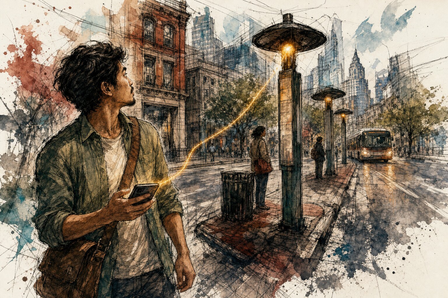
Three downtown corners, not a transit-data lesson#
For that downtown location, Raleigh’s official GoRaleigh schedule returned three nearby stops. The names matter more than the numbers unless you’re using a stop number to look up a schedule next.
./scripts/raleigh transit stops --near 35.7788,-78.6382 --limit 3
STOP  NAME                             LAT        LON
----  -------------------------------  ---------  ----------
1005  E Hargett St at Fayetteville St  35.778323  -78.638953
128   Wilmington St at Morgan St       35.779881  -78.638060
306   E Morgan St at S Wilmington St   35.779508  -78.637290
If you’re at Fayetteville and Hargett, those street names are enough to get oriented. You can head toward a real corner instead of staring at a citywide route map and wondering which dot is yours.
From there, you can ask which routes use those stops and what’s scheduled to arrive. But the first answer stays modest. “Nearby” doesn’t mean the safest walk, an accessible path, or a live arrival prediction. It means these were the nearby stops returned for that point.
That distinction is easy to lose when an AI is trying too hard to be helpful. A bus rider is better served by a narrow answer that’s true than a polished answer with a little wishful thinking baked into it.
What happened at 4251 Parklake Avenue?#
Permit BLDNR-009249-2022 is for a new commercial shell building at 4251 Parklake Avenue. Raleigh’s public Permit and Development Portal marks it complete, with a final date of August 23, 2023.
“Complete” leaves out what happened just before that. The final inspection requested on August 16 is marked Partial Pass. Another final inspection, requested on August 23, is marked Passed. That tells you more than the permit’s current status because it doesn’t skip straight to the ending.
That matters if you live or work near Parklake Avenue and are trying to understand whether a project stalled or moved forward. The record shows movement without asking you to decode the entire permit file.
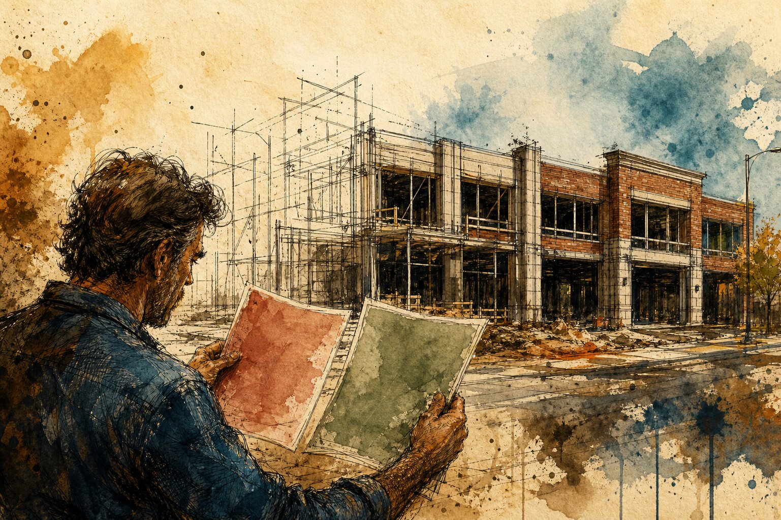
You don’t need the full inspection array to see that. These two contiguous excerpts are enough:
./scripts/raleigh --json development inspections --record BLDNR-009249-2022 --limit 3
First returned final-inspection excerpt:
    "InspectionType": "Final [Non-Residential]",
    "InspectionStatus": "Partial Pass",
    "RequestedDate": "2023-08-16T19:10:30Z",
Second returned final-inspection excerpt:
    "InspectionType": "Final [Non-Residential]",
    "InspectionStatus": "Passed",
    "RequestedDate": "2023-08-23T04:00:00Z",
Notice what’s missing from that answer: a guess about why the first inspection only partially passed. The records shown here don’t say. The honest answer stops there (even if curiosity doesn’t).
Which dog park has lights?#
This one is pleasantly simple. In the three Raleigh dog parks returned by the lookup, all three had a separate small-dog area. Millbrook-Exchange, at 1905 Spring Forest Road, was marked as having lights. Buffaloe Road and Oakwood were marked No.
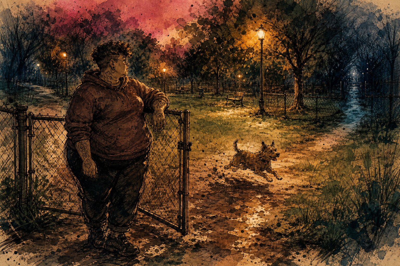
Those details came from the city’s Raleigh Dog Parks data:
./scripts/raleigh query 3bc8dbb6a3ae4ab18dc3ab3150a2bbea --limit 3 --out-fields SITE,PHYSICAL_ADDRESS,SMALL_DOG_AREA,LIGHTS
SITE                PHYSICAL_ADDRESS         SMALL_DOG_AREA  LIGHTS
------------------  -----------------------  --------------  ------
Millbrook-Exchange  1905 Spring Forest Road  Yes             Yes
Buffaloe Road       5900 Buffaloe Road       Yes             No
Oakwood             910 Brookside Drive      Yes             No
If you’re trying to give a small dog some room after work, that’s a real decision made easier: Millbrook-Exchange is the lit option among these three. You don’t need to know how Raleigh names the columns in a parks file or where to find the right download.
But the answer still needs a little restraint. It says what the city’s record says about lights. It doesn’t promise that every light is working tonight, or that these are Raleigh’s only dog parks.
A bus stop, a permit, and a dog park are enough to show what this feels like. They’re not the limit.
What else can you ask it?#
You can also ask it to:
- Check GoRaleigh routes, stops, schedules, live vehicles, trip updates, and service alerts.
- Turn a street address into a map location, turn a map point back into an address, or work through a whole list of addresses.
- Follow public projects, permits, inspections, code cases, and licenses.
- Look up city news, events, park projects, public places, services, staff directory entries, and alerts.
- Find upcoming or past public meetings, search by topic, and retrieve published agendas or minutes when they’re available.
- Search Raleigh’s live open-data catalog, query records, download files, and work with public aerial imagery when the city service allows it.
That’s enough range to move from “Where’s my bus?” to “What is City Council discussing?” without making the resident learn a different website for every question.
This stays on the public, read-only side of City Hall: it can’t log in, submit forms, pay fees, or see private records.
Raleigh already puts a remarkable amount of useful information online. But “online” and “easy to find” aren’t the same thing. A bus stop sits in one place, a permit history in another, and park details somewhere else entirely.
The Raleigh Agent Skill doesn’t make those city systems disappear. It just lets a resident begin where a resident actually begins: with a place, a permit number, a dog that needs to run, or a question about what City Council is doing. That’s what public information should feel like.